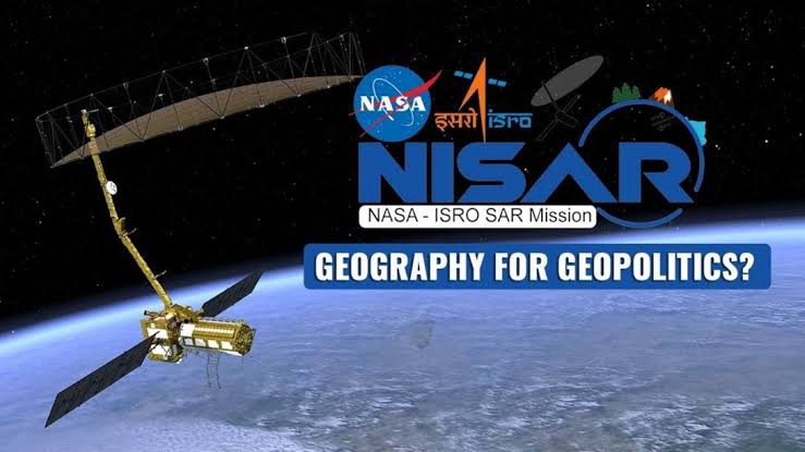
The NASA-ISRO Synthetic Aperture Radar (NISAR) is a first-of-its-kind Earth observation satellite jointly developed by NASA and ISRO under a 2014 partnership. Scheduled for launch on July 30 from Sriharikota via GSLV Mk-II, NISAR will be placed in a Sun-synchronous polar orbit at 747 km altitude. It will be the first satellite to use dual-frequency radar (L-band by NASA and S-band by ISRO), enabling comprehensive surface imaging. The satellite features fully polarimetric radar technology with an imaging swath of 240 km, capable of global surface coverage every 12 days. NISAR will map Earth’s changing surface using interferometric time-series imagery, with NASA conducting a 3-year science operation and ISRO continuing for 5 years. The L-band SAR penetrates forests and soils, useful for tectonic monitoring, while the S-band detects surface details like crops and infrastructure. NISAR will assist in studying climate change, water cycle dynamics, agriculture, desertification, tectonic shifts, and help in natural resource and disaster management globally.
📝 UPSC Mains Questions (GS3 – Science & Tech / Environment)
1. Discuss the significance of the NISAR satellite in understanding climate change and Earth surface dynamics. (150 words)
2. Examine the collaborative efforts of India and the USA in space technology with reference to the NISAR mission. (10 marks)
3. How does the dual-frequency SAR technology in NISAR enhance Earth observation capabilities? Explain with examples.
4. How can NISAR data assist in agricultural and water resource management in India?
🧾 UPSC Prelims MCQs
Q1. With reference to the NISAR satellite, consider the following statements:
It uses only the L-band SAR technology developed by ISRO. It will be launched into a Sun-synchronous orbit. It can measure tectonic movement and crop yield changes. Which of the statements is/are correct? (a) 2 and 3 only (b) 1 and 2 only (c) 3 only (d) 1, 2 and 3 ✅ Answer: (a) 2 and 3 only
📘 Value Addition for Mains
🔹 1. Scientific Significance:
First radar satellite with dual-band (L + S) SAR → increased spatial and temporal resolution. Interferometry enables tracking of surface deformation at millimeter accuracy.
🔹 2. Strategic/Geopolitical Context:
Reinforces India–US space diplomacy. Enhances India’s remote sensing capability in the Indo-Pacific.
🔹 3. Environmental Governance (SDG Linkages):
Supports SDG 13 (Climate Action), SDG 15 (Life on Land), and SDG 2 (Zero Hunger).


